New York City’s housing supply crunch is the consequence of many bad policy choices. One that still plays a role today, more than 60 years on, is the 1961 decision to invent “manufacturing zones”—zoning districts intended for public facilities and industrial businesses thought to be incompatible with residences, which were excluded from these areas. A recent report from New York City’s Planning Department offers hope of finally answering the vexing question of how many such areas the city really needs.
The problem with manufacturing zones became apparent soon after their creation. They originally covered about 10 percent of the land area of the city. After 1961, New York City’s industrial sector went into rapid decline, but the zones lived on. In my 38-year career in New York City planning, I was involved in many political battles to introduce new land uses into the city’s many fallow manufacturing zones.
The struggles of planners, property owners, and elected officials led to a great deal of change over time. New York City is full of booming neighborhoods developed on what once was little-used manufacturing-zoned land—Southeast and West Chelsea and Hudson Yards in Manhattan; Mott Haven in the Bronx; Greenpoint, Williamsburg, and Gowanus in Brooklyn; and Long Island City and Flushing in Queens. But throughout the decades since the 1990s, when large-scale rezonings began, elected officials and local activists continued to demand clarity about which areas were appropriate for rezoning, and which were important to keep as manufacturing zones.
To provide this clarity, the mayoral administration of Michael Bloomberg designated Industrial Business Zones (IBZs), which would get enhanced city support along with a commitment not to pursue rezonings to permit housing. The zones covered only the subset of manufacturing-zoned land thought to have the highest potential for industrial business investment.
Outside of the IBZs, the city was free to pursue rezonings and has done so. In 2025, it rezoned most of the remaining manufacturing zones in Manhattan as part of the Midtown South Mixed-Use Plan. Additional rezonings of manufacturing zones to permit residences are pending city council approval in Long Island City and Jamaica, Queens.
Many manufacturing-zoned areas still lie outside of IBZs where housing should be allowed. Rezoning in these areas has been delayed by environmental review and public-land-use review—and in some cases by political opposition to land-use changes.
But some of the city’s most valuable land is also tied up in the commitment not to rezone IBZs. For example, I’ve written about an area of Long Island City north of the Queensbridge public housing development and west of 21st Street that is largely devoid of industry and characterized by numerous budget hotels. This area represents untapped opportunity in a community where housing demand is strong.
To rezone such areas, the city needs to recognize that its earlier commitment to keep housing out of IBZs has become outdated. On this point, the city’s new draft industrial plan offers a path forward. The plan presents “a new land use framework to guide development and investment in manufacturing zones.”
The framework creates new area designations. Primary Industrial Areas (PIAs) are those that “have fewer non-industrial uses or pedestrian activity and large development sites, [and] are most appropriate for the siting of core infrastructure, truck-dependent operations, and other intensive uses. Separation of uses to protect public safety and prevent conflicts with business operations is most critical in PIAs.”
Secondary Industrial Areas (SIAs), by contrast, “tend to have a greater mix of commercial and industrial uses, are most appropriate for smaller-scale, higher-performing, and less truck-dependent industry. Businesses located in SIAs may create conflicts that necessitate segregation from residential uses, but typically benefit from greater proximity to transit and other businesses.”
Together, the proposed PIAs and SIAs represent only a portion of the current IBZs. Only these areas are viewed as continuing to need separation from residences. The residual IBZ areas are lumped in with “Other M-Zones,” which “have the greatest mix of uses and are closest to residences and transit. Planning should allow for the continued presence of industrial uses in an environment that prioritizes pedestrian access and supports a broad range of uses.”
The new land-use framework, in summary, potentially opens some IBZ areas to new housing development, including the enclave north of Queensbridge Houses.
Much still needs to happen before this can be accomplished. The plan is being issued by a lame duck mayoral administration (assuming current polling is reliable). The next mayor would have to adopt the framework and proceed through the laborious process of changing the zoning. Proposed city charter amendments to speed up the land-use review process, even if enacted, would not affect zoning changes that would permit residences.
Still, the carefully redrawn maps mark a milestone in the city’s long retreat from manufacturing zones. New York’s dire housing need should preclude leaving land in high-value communities underused and blighted. Zoning needs to be flexible and responsive to changing conditions. The city’s planners deserve recognition for their efforts to move toward that goal.
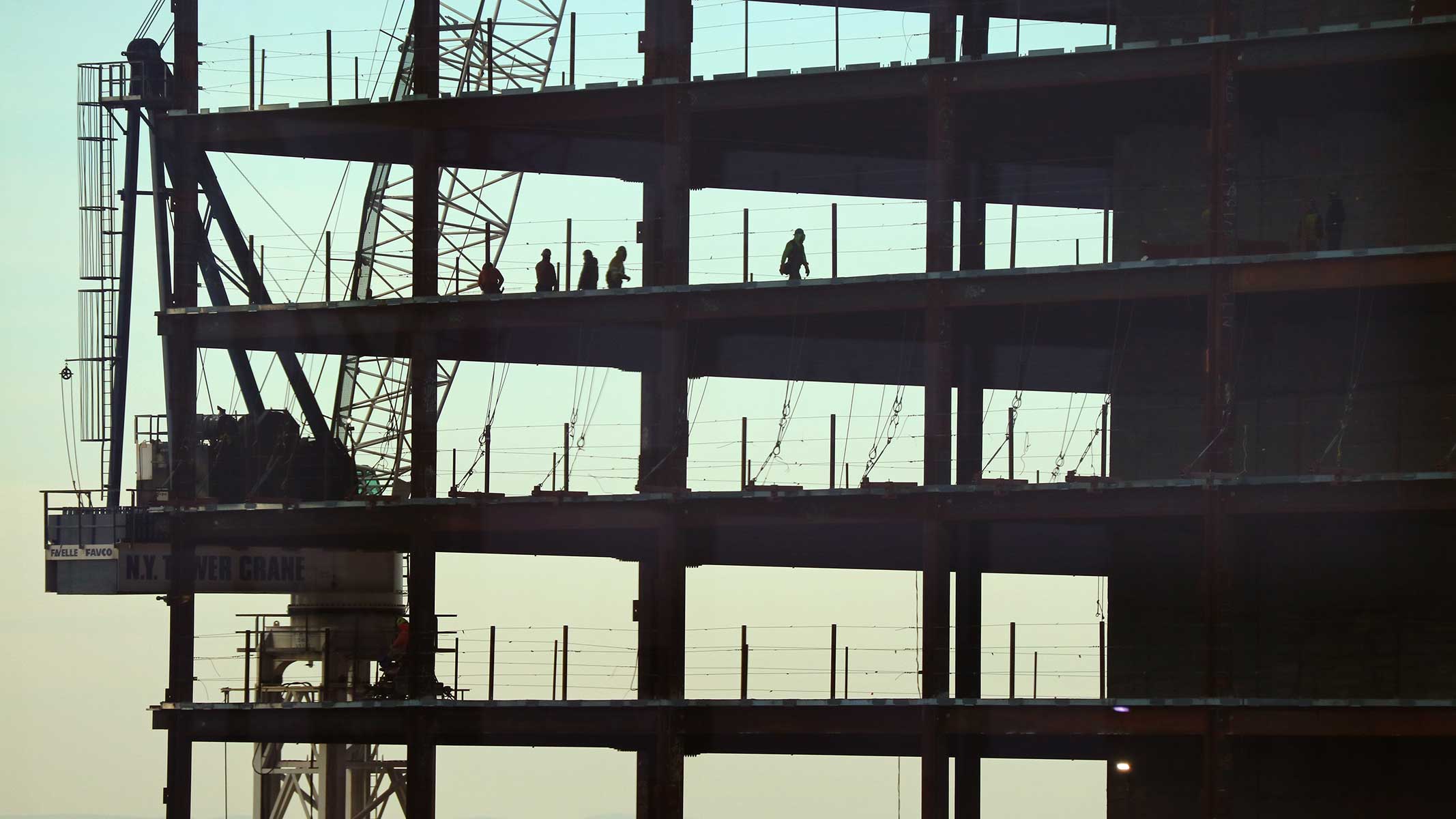
Photo by Gary Hershorn/Getty Images
City Journal is a publication of the Manhattan Institute for Policy Research (MI), a leading free-market think tank. Are you interested in supporting the magazine? As a 501(c)(3) nonprofit, donations in support of MI and City Journal are fully tax-deductible as provided by law (EIN #13-2912529).